
Enlarge (credit: Darin Marshall)
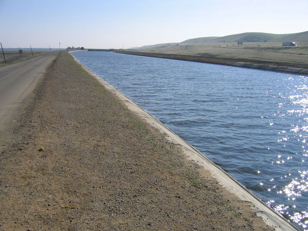
While the Oroville Dam in northern California has been flirting with disaster due to excessive rainfall, the water story in the Golden State has been much more about lack than excess in recent years. In an unfortunate double consequence, the recent drought not only took a toll on California’s water supplies—it damaged the water infrastructure as well. Ground water depletion gave the Earth a sinking feeling that accelerated damage to the California Aqueduct, which carries water to 25 million people and a million acres of farmland.
California’s San Joaquin Valley is (unhappily) famous for a history of groundwater depletion that has actually caused the land surface to sink in elevation. This subsidence is due to the fact that the water in the sediment beneath our feet actually bears some of the weight of everything above it. Removing that water from the tiny spaces between grains of material allows the sediment to compact down more tightly, causing subsidence up at the surface. The effect is not subtle in California—some places have sunk more than 30 feet (9 meters) over the years.
In recent years, incredibly precise satellite measurements have been used to map out the subsidence in detail, highlighting fast-dropping hotspots as well as changes along the length of the California Aqueduct.
Read 5 remaining paragraphs | Comments
Source: Ars Technica – California’s drought causing the bottom to drop out of its aqueducts